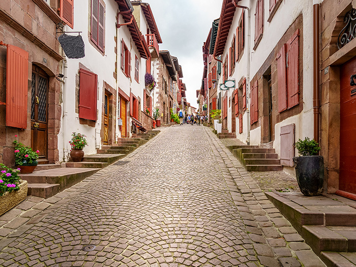
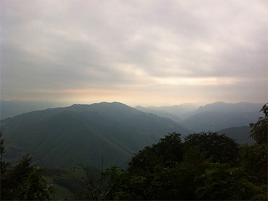
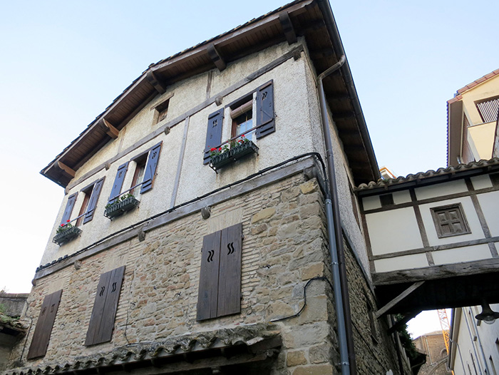
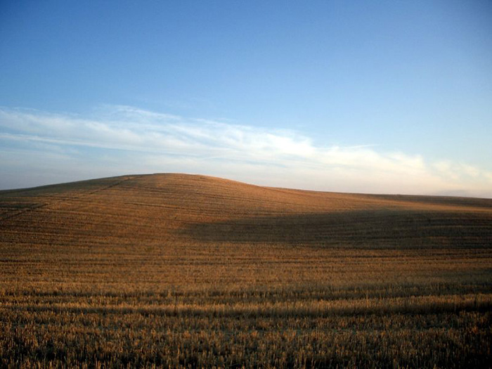
Saint-Jean-Pied-de-Port to Roncesvalles (via Route Napolean)
×
![]()
STAGE
1A
DISTANCE
25.7 km (16.0 miles)
DIFFICULTY
Challenging
AVERAGE TIME
7-9 hours
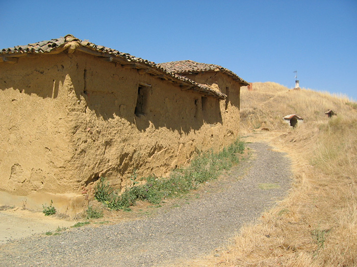
Saint-Jean-Pied-de-Port to Roncesvalles (via Valcarlos)
STAGE
1B
DISTANCE
27.5 km (17 miles)
DIFFICULTY
Challenging
AVERAGE TIME
6-8 hours
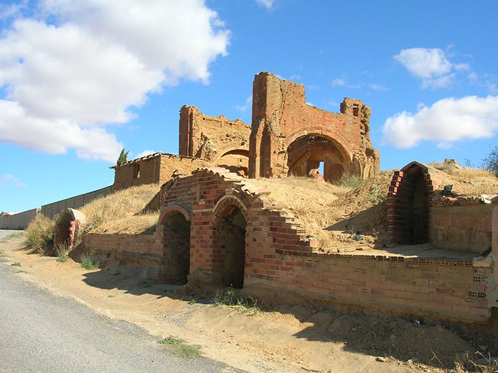
Roncessvalles to Zubiri
STAGE
2
DISTANCE
21.8 km (13.5 miles)
DIFFICULTY
Moderate
AVERAGE TIME
5-6 hours
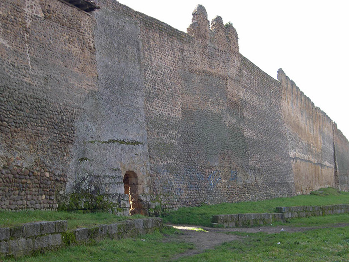
Zubiri to Pamplona
STAGE
3
DISTANCE
21.7 km (13.5 miles)
DIFFICULTY
Easy
AVERAGE TIME
5-6 hours
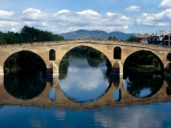
Pamplona to Puente la Reina
STAGE
4
DISTANCE
23.7 km (14.7 miles)
DIFFICULTY
Easy/Moderate
AVERAGE TIME
6-7 hours
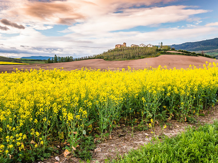
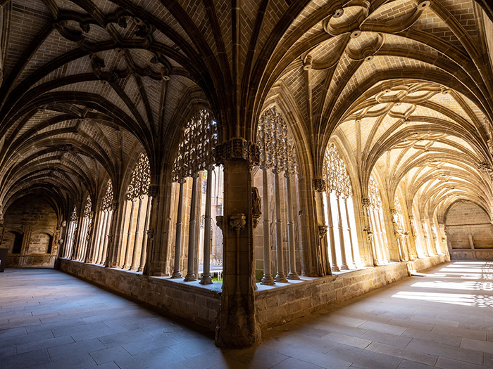
Puente la Reina to Estella
 This work is licensed under a
Creative Commons Attribution-ShareAlike 4.0 International License.
This work is licensed under a
Creative Commons Attribution-ShareAlike 4.0 International License.
Author:
Gerd EichmannSTAGE
5
DISTANCE
21.7 km (13.5 miles)
DIFFICULTY
Moderate
AVERAGE TIME
5-6 hours
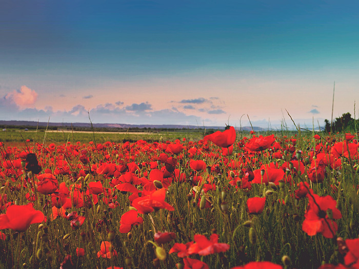
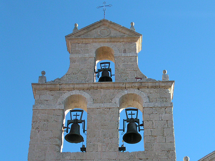
Estella to Los Arcos
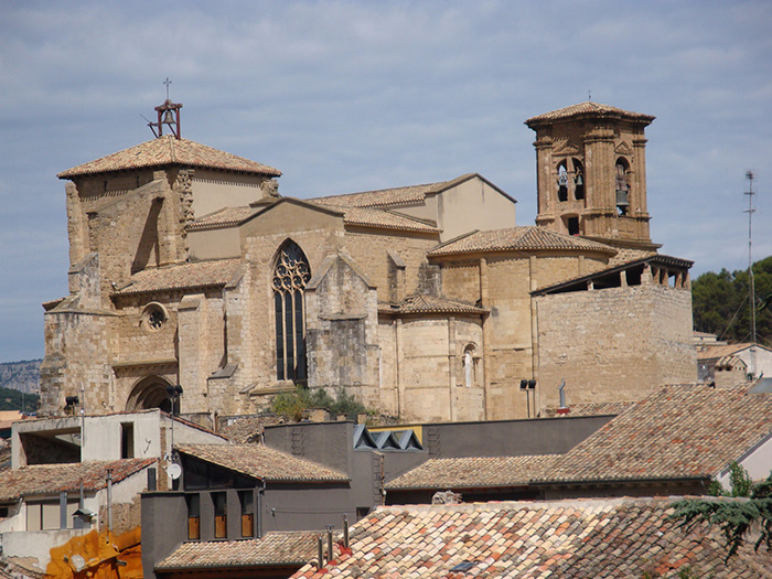 This work is licensed under a
Creative Commons Attribution-ShareAlike 2.0 Generic License.
This work is licensed under a
Creative Commons Attribution-ShareAlike 2.0 Generic License.Author:
ZubitarraSTAGE
6
DISTANCE
22.0 km (13.7 miles)
DIFFICULTY
Easy/Moderate
AVERAGE TIME
5-6 hours
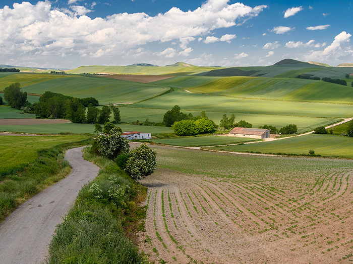
Los Arcos to Logrono
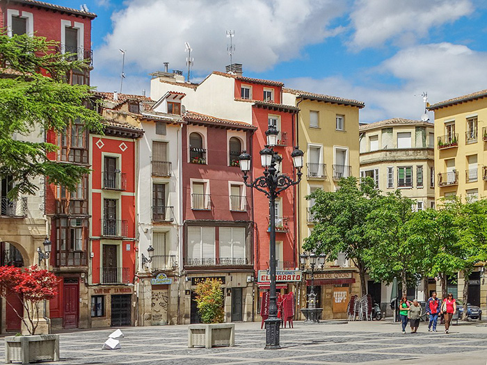 This work is licensed under a
Creative Commons Attribution-ShareAlike 2.0 Generic License.
This work is licensed under a
Creative Commons Attribution-ShareAlike 2.0 Generic License.
Author:
Adam JonesSTAGE
7
DISTANCE
28.7 km (17.8 miles)
DIFFICULTY
Easy/Moderate
AVERAGE TIME
7-8 hours
Logrono to Najera
STAGE
8
DISTANCE
28.8 km (17.9 miles)
DIFFICULTY
Moderate
AVERAGE TIME
7-9 hours
Najera to Santo Domingo de la Calzada
STAGE
9
DISTANCE
21.8 km (13.5 miles)
DIFFICULTY
Easy
AVERAGE TIME
5-6 hours
Santo Domingo de la Calzada to Belorado
STAGE
10
DISTANCE
22.9 km (14.2 miles)
DIFFICULTY
Easy
AVERAGE TIME
5-6 hours
Belorado to San Juan de Ortega
STAGE
11
DISTANCE
24.0 km (14.9 miles)
DIFFICULTY
Easy/Moderate
AVERAGE TIME
5-6 hours
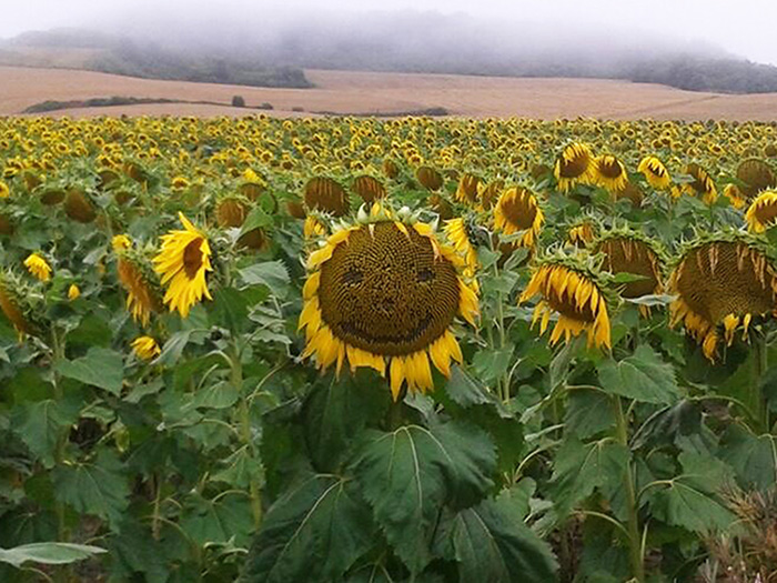
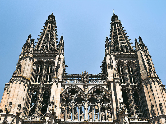
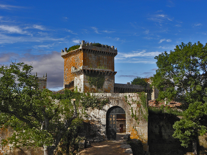
San Juan de Ortega to Burgos
 This work is licensed under a Creative Commons Attribution-ShareAlike 3.0 Spain License.
Author:
CarlospalaciosSTAGE
12
DISTANCE
25.2 km (15.6 miles)
DIFFICULTY
Easy/Moderate
AVERAGE TIME
5-6 hours
Burgos to Hornillos del Camino
STAGE
13
DISTANCE
22.0 km (13.7 miles)
DIFFICULTY
Easy/Moderate
AVERAGE TIME
5-6 hours
Hornillos del Camino to Castrojeriz
STAGE
14
DISTANCE
19.8 km (12.3 miles)
DIFFICULTY
Easy
AVERAGE TIME
5-6 hours
Castrojeriz to Fromista
STAGE
15
DISTANCE
24.8 km (15.4 miles)
DIFFICULTY
Easy/Moderate
AVERAGE TIME
6-7 hours
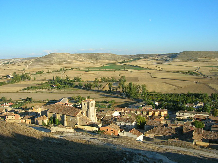
Fromista to Carrion de los Condes
 This work is licensed under a Creative Commons Attribution-ShareAlike 2.0 Generic License.
Author:
Luis Rogelio HMSTAGE
16
DISTANCE
19.7 km (12.2 miles)
DIFFICULTY
Easy
AVERAGE TIME
5-6 hours
Carrion de los Condes to Terradillos de los Templarios
STAGE
17
DISTANCE
26.4 km (16.4 miles)
DIFFICULTY
Easy/Moderate
AVERAGE TIME
6-7 hours
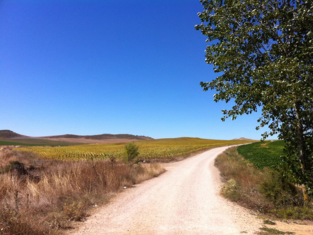
Terradillos de los Templarios to Bercianos del Real Camino
 This work is licensed under a Creative Commons Attribution-ShareAlike 2.0 Generic License.
Author:
Neil CummingsSTAGE
18
DISTANCE
24.5 km (15.2 miles)
DIFFICULTY
Easy/Moderate
AVERAGE TIME
7-8 hours
Bercianos del Real Camino to Mansilla de las Mulas
STAGE
19
DISTANCE
26.3 km (16.3 miles)
DIFFICULTY
Easy/Moderate
AVERAGE TIME
7-8 hours
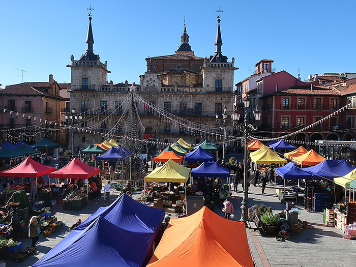
Mansilla de las Mulas to Leon
 This work is licensed under a Creative Commons Attribution-ShareAlike 3.0 Unported License.
Author:
MareveSTAGE
20
DISTANCE
19.2 km (11.9 miles)
DIFFICULTY
Easy
AVERAGE TIME
5-6 hours
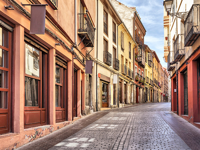
Leon to San Martin del Camino
STAGE
21A
DISTANCE
24.4 km (15.2 miles)
DIFFICULTY
Easy/Moderate
AVERAGE TIME
5-6 hours
Leon to Villar de Mazarife
STAGE
21B
DISTANCE
21.0 km (13.0 miles)
DIFFICULTY
Easy/Moderate
AVERAGE TIME
5-6 hours
San Martin del Camino to Astorga
STAGE
22A
DISTANCE
24.4 km (15.2 miles)
DIFFICULTY
Easy/Moderate
AVERAGE TIME
5-6 hours
Villar de Mazarife to Astorga
STAGE
22B
DISTANCE
31.7 km (19.7 miles)
DIFFICULTY
Moderate
AVERAGE TIME
8-9 hours
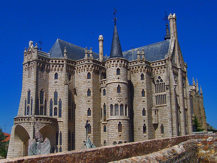
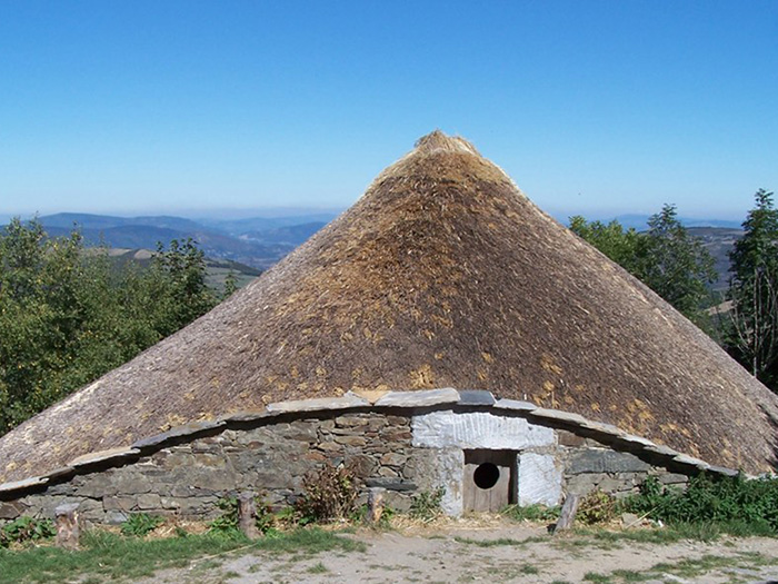
Astorga to Foncebadon
STAGE
23
DISTANCE
25.9 km (16.1 miles)
DIFFICULTY
Moderate
AVERAGE TIME
6-7 hours
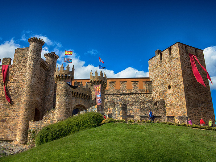
Foncebadon to Ponferrada
 This work is licensed under a Creative Commons Attribution-ShareAlike 2.0 Generic License.
Author:
Neil CummingsSTAGE
24
DISTANCE
26.6 km (16.5 miles)
DIFFICULTY
Moderate
AVERAGE TIME
7-8 hours
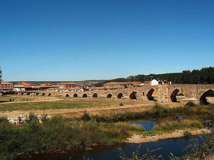
Ponferrada to Villafranca del Bierzo
STAGE
25
DISTANCE
23.7 km (14.7 miles)
DIFFICULTY
Moderate
AVERAGE TIME
5-6 hours
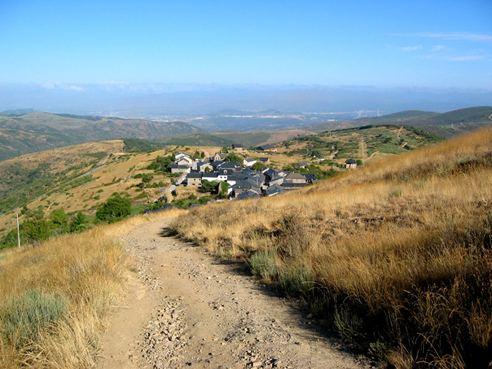
Villafranca del Bierzo to O Cebreiro
STAGE
26
DISTANCE
28.0 km (17.4 miles)
DIFFICULTY
Moderate/Challenging
AVERAGE TIME
7-8 hours
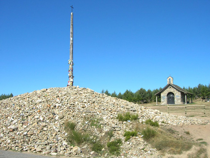
O Cebreiro to Triacastela
STAGE
27
DISTANCE
22.4 km (13.9 miles)
DIFFICULTY
Easy/Moderate
AVERAGE TIME
6-7 hours
Triacastela to Sarria (via San Xil)
STAGE
28A
DISTANCE
18.5 km (11.5 miles)
DIFFICULTY
Easy/Moderate
AVERAGE TIME
5-6 hours
Triacastela to Sarria (via Samos)
 This work is licensed under a
Creative Commons Attribution 2.0 Generic License.
This work is licensed under a
Creative Commons Attribution 2.0 Generic License.
Author:
José Antonio Gil MartínezSTAGE
28B
DISTANCE
25.5 km (15.8 miles)
DIFFICULTY
Easy/Moderate
AVERAGE TIME
6-7 hours
Sarria to Portomarin
 This work is licensed under a
Creative Commons Attribution 2.0 Generic License.
This work is licensed under a
Creative Commons Attribution 2.0 Generic License.
Author:
José Antonio Gil MartínezSTAGE
29
DISTANCE
24.4 km (15.2 miles)
DIFFICULTY
Easy/Moderate
AVERAGE TIME
6-7 hours
Portomarin to Palas de Rei
STAGE
30
DISTANCE
25.1 km (15.6 miles)
DIFFICULTY
Easy/Moderate
AVERAGE TIME
6-7 hours
Palas de Rei to Arzua
 This work is licensed under a
Creative Commons Attribution 2.0 Generic License.
This work is licensed under a
Creative Commons Attribution 2.0 Generic License.
Author:
Jose Luis Cernadas IglesiasSTAGE
31
DISTANCE
29.5 km (18.3 miles)
DIFFICULTY
Moderate
AVERAGE TIME
8-9 hours
Arzua to O Pedrouzo
STAGE
32
DISTANCE
20.0 km (12.4 miles)
DIFFICULTY
Easy/Moderate
AVERAGE TIME
5-6 hours
O Pedrouzo to Santiago de Compostela
STAGE
33
DISTANCE
18.9 km (11.7 miles)
DIFFICULTY
Easy/Moderate
AVERAGE TIME
5-6 hours